Richinbar Mine
Located on the edge of a mesa overlooking Agua Fria Canyon, the Richinbar Mine consists of the Gold Note Patented claims. It is a former surface and underground mine worked by the Richinbar Mines Co., the Sterling Gold Mining Corp., and others for gold, silver, lead, and copper from 1905 to 1948.
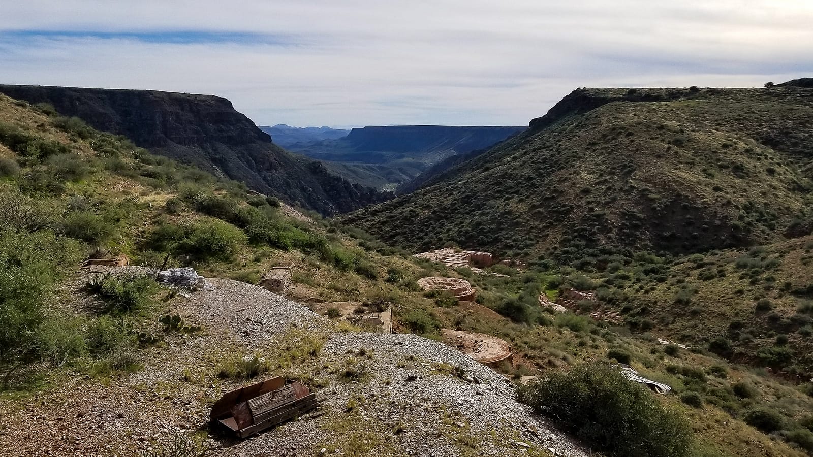
The mine is known for its well-documented history and beautiful surrounding scenery.

History
Richinbar’s early years began with the original prospecting claim in 1887, though actual development work would not occur until the early 20th century. Around that time, the town of Richinbar formed with its post office opening in 1896. By 1905, serious development work began as Western Mining History states,
“From about 1905 to 1908, the Richinbar Mines Company carried on extensive development work at this property, built a 20-stamp mill, and, according to local reports, mined some 8,000 tons of ore that contained about $6 per ton in gold together with a little silver.”
During this time and until 1922, three separate companies worked and operated the Richinbar mine. In 1917 the mine underwent maintenance, including retimbering and unwatering. Western Mining History further reports that
“Early in 1933, the Sterling Gold Mining Corporation obtained control of the property and, before May 1934, made some surface improvements and carried on a little underground work. Eight men were employed.”
Richinbar’s central shaft, named Zyke, reached a depth of 500 feet, but by May of 1935, its workings below the 200-foot level were underwater. In 1937 the mine shut down, but it slowly recovered. By 1940 the mine reopened under the ownership of the Sterling Gold Mining Company.
Mining activity at the Richinbar would continue under the Sterling Gold Mining Company until the eventual and final bust of the mine in 1948.

Mine Description and Where to go

Today, some structures remain, including a lone chimney, former smelting foundations, and an earthen water tank. Multiple shafts dot the mines landscape, including the central Zyke shaft. A large open cut also remains.
You can view and explore the remains of the Richinbar Mine via a hiking trail located a mile north of Sunset Point on Interstate 17. Check out this page for more information on this hiking trail.

Photo Gallery


